What’s the best way to tell area residents about plans for a new asylum shelter nearby?
The government should tell communities directly about plans for new asylum shelters, some activists and politicians say.
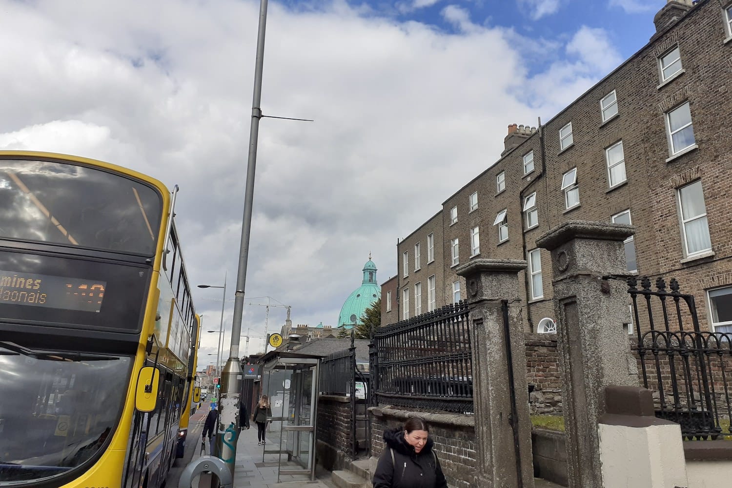
“We vote in Ranelagh, but we feel Rathmines,” says Trowdy Ferguson, rocking the pram back and forth on the garden path, on Belgrave Square.

When Mohamed Latrouci moved into a house on Belgrave Square North, he went to write Ranelagh into his address.
But that was wrong, he said on Friday. “My address is Rathmines,” he says, resting his hand on his gate and looking back at his house.
Yet, he says, he finds himself closer to Ranelagh than to Rathmines, from Belgrave Square, which sits almost dead centre between the two neighbourhoods.
Latrouci finds his feet turn more towards Ranelagh each time he leaves his house.
“Shopping, the Luas, I think, as well,” he says. “It’s too close to each other. It’s exactly in the middle, I think.”
He gestures across to Belgrave Square, where school kids are playing in the late afternoon sun.
“There is no difference. It’s like you could call it all Ranelagh or you could call it all Rathmines,” he says.
Political divisions were drawn and redrawn in this area, at times dividing Rathmines and Ranelagh, and at times joining them together. Then there’s what An Post says, what local electoral areas indicate, and what estate agents claim.
Then try to take into account people’s interpretations of which border is the most legitimate. The earliest one they can find in a book? The one they lived by when they were growing up? The most recent one?
If he had to draw a line between the neighbourhoods, Latrouci says he wouldn’t. “You don’t have to put the border.”
“We vote in Ranelagh, but we feel Rathmines,” says Trowdy Ferguson, rocking the pram back and forth on the garden path, several doors east – towards Ranelagh, away from Rathmines – of Latrouci’s home.
She and her partner, Kenneth Ferguson, are setting out on a stroll with their grandson.
They sent their children to school in Rathmines and shop there, she says. And Kenneth has always lived in Rathmines, he says, and so he would always want to keep that link.
Says Kenneth: “It’s just a feeling.”
Ultimately, “it doesn’t really matter”, says Trowdy.
Latrouci says a lot of his neighbours are from different countries.
It seems to him that his Irish neighbours care more about defining the area as Rathmines. He asks himself the question of where he lives, “because I am more going this way, than this way,” he says.
Arran Henderson, a historian and tour guide, says people’s senses of identity are shaped by where they live and where they go day to day.
“Where you go to the shop, where your kids go to school, where you go to work, where your friends live are all reasons why you might tie yourself to an area,” he says.
The way someone orientates themselves will influence what they know about an area, what it is and even what it’s called, he says.
He lives in Portobello, he says. Well, maybe.
“An area that myself and my wife and I think most of our neighbours sort of blithely call Portobello,” says Henderson. “But actually, strictly speaking, it may not be Portobello at all.”
Strictly speaking, Portobello doesn’t actually stretch across the South Circular Road, he says. But the area has been creeping northwards.
Mostly, that’s because of estate agents and the aspirations of homeowners, he says.
“Since Portobello’s, become, you know, considered a kind of desirable area to live in, in the last 20 years or so,” says Henderson. “It’s one of these things that is just getting bigger and bigger.”
He’s not sure what else to call the place where he lives, north of the canal, but south of South Circular Road.
“Not every area of Dublin has a handy kind of catch-all title,” he says.
Some lands lie in in-between areas, he says, as has to be the case. “Because it has to transition from one area to the other.”
Still, he’d be inclined to call it Portobello, he says, because when he and his wife head out, that’s the direction they turn towards.
In her Georgian home on Belgrave Square West, Elizabeth Smith extracts folded old maps and books on the history of Dublin from sitting-room shelves, and side tables in the dining room and yet more books from hidden places upstairs.
The cadet-blue walls are covered in framed art, the surfaces in papers and kids’ toys.
She wants to check the borders of the Rathmines township, which was created by an act of parliament in 1847, and existed – growing and changing over the years – as a political entity separate from Dublin city until 1930 when it was subsumed.
It included Rathmines and Ranelagh, as well as Harold’s Cross, Rathgar, Terenure, and some of Donnybrook, Milltown and Dartry.
Smith would put today’s border between Rathmines and Ranelagh on Mountpleasant Avenue Upper, she says. As it was, she guesses, during the township times.
She flicks lightly through Rathmines, a new historical atlas, by Séamas Ó Maitiu.
Smith is in the acknowledgments, she says, for giving him her old maps for the book. “One of my really proud moments.”
She spots a promising map and runs her finger along the straight line of road that goes from the Grand Canal right down to the River Dodder.
“I know for a fact, because of my studies, that that is the border,” she says. “They were all based on originally, the Meath estate and the Palmerston estate”, referring to the landholdings in Dublin of the Earl of Meath and Viscount Palmerston.
Smith feels that she lives in Rathmines, but, she says, she understands others may disagree. They may feel different, she says.
“There’s no reason to have a dispute about it,” she says with a chortle. “Except local pride and whether you think Rathmines or Ranelagh is better or whatever.”
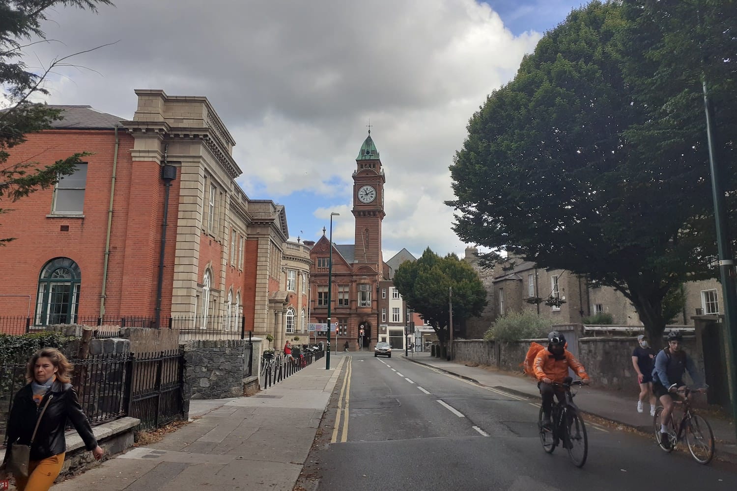
It’s definitely Rathmines, says John Hall, kneeling with a toolbox at his gate at the very western end of Leinster Road, a few steps from the traffic lights on Harold’s Cross Road.
“It’s the formal address and the boundaries for local elections too,” he says.
If some people think he’s in Harold’s Cross, he has the arguments to counter that.
“Well, the post office doesn’t. The local electoral area doesn’t. The voting area doesn’t,” he says. “I know that for sure, yes.”
Postal and electoral areas have to be fixed and rigid, says Henderson, the historian and tour guide, because they have a purpose. “You know exactly what street they start on and finish. Clearly defined, hard edges.”
But those hazy neighbourhood names, like Rathmines and Harold’s Cross and Ranelagh, or across the city, in Stoneybatter and Phibsboro – they’re different, he says.
“Elastic,” says Henderson, in a word. They’re much more ambiguous and more blurred.”
Honor O’Brolchain, a historian who does local tours of Rathmines, says it was elastic back in the day too. General place names came from the townships, she says.
“The borders of the actual townships back in the day are extraordinary because they wander all over the place. In kind of loops,” she says.
They followed the shapes of fields, she says. Two landowners bordering each other would make their own lines in the grass.
“One lot decides that he’s going to be with the Pembroke township and the other decides he’ll be with the Rathmines township,” she says.
Rathmines and Ranelagh were linked by a series of lanes and then people started building on the lanes. “And that’s where it really takes off,’ she says. “And the places between would have really been fields or nurseries and orchards.”
Later on, the Dublin Corporation tried to make it neater and then the postal district too, she says.
When it comes to the roads leading off Palmerston Road – part of the straight line Smith found in her contemporary maps – the defining line becomes more jagged, says O’Brolchain.
Windsor Road and Killeen Road are considered part of Rathmines, she says. But they are “across the border”, on the east – Ranelagh – side of Palmerston Road.
House numbers count up from Palmerston Road, which is in Rathmines, she says. “So if they start there, that makes them Rathmines.”
“Wherever the low number is, the side roads take on that identity,” says O’Brolchain with a smile. “It’s not such a sure line.”
On Friday, the sun is rinsing the last of its heat and orange leaves line the gutter of Leinster Road.
Joseph David is strolling from Harold’s Cross Road towards Rathmines, although he couldn’t say when he’ll pass over from one to the other.
“I’m new to this area, so I don’t actually know the boundaries,” he says. He hasn’t given it much thought either, he says.
But he thinks it’s good to have a clear boundary, he says. “Just so that you know where you mark the line, where you are going.”
With Leinster Road underfoot, Rebecca Lewis is sure she’s in Harold’s Cross, she says. Right until she reaches Rathmines Road to the east, from where you can see the Omniplex cinema and the Rathmines library.
“The church and the shopping centre is in Rathmines, so I think that’s where that is,” she says, through a yellow face mask.
Back across the neighbourhood over in Belgrave Square, Smith says she isn’t sure about that distant border with Harold’s Cross, although she’s lived in Rathmines for more than 50 years.
“I think it’s more likely to be that Rathmines Road is the border,” she says, and then she considers. “But then maybe it’s Harold’s Cross Road.”
In this case, division may not be necessary, she says. “In my view, they morph into one another, really.”
The main streets are the core, she says. The centres of gravity of Ranelagh Road, Rathmines Road, and Harold’s Cross Road, and to a lesser extent Rathgar Road.
O’Brolchain says that vagueness of borders can sometimes bring a passion for where people belong.
“People always care about where they come from,” she says. “And sometimes they know and sometimes they don’t.”
“Even if you are tied to a place,” she says, “you may not know where the borders are.”

The government should tell communities directly about plans for new asylum shelters, some activists and politicians say.


The current skirmish is over a Manna base at Junction 6 in Blanchardstown.

The idea is for this spot next to Dublin Castle to host choirs, chamber music, trad music, poetry performances, and more.
Get our latest headlines in one of them, and recommendations for things to do in Dublin in the other.